Important!
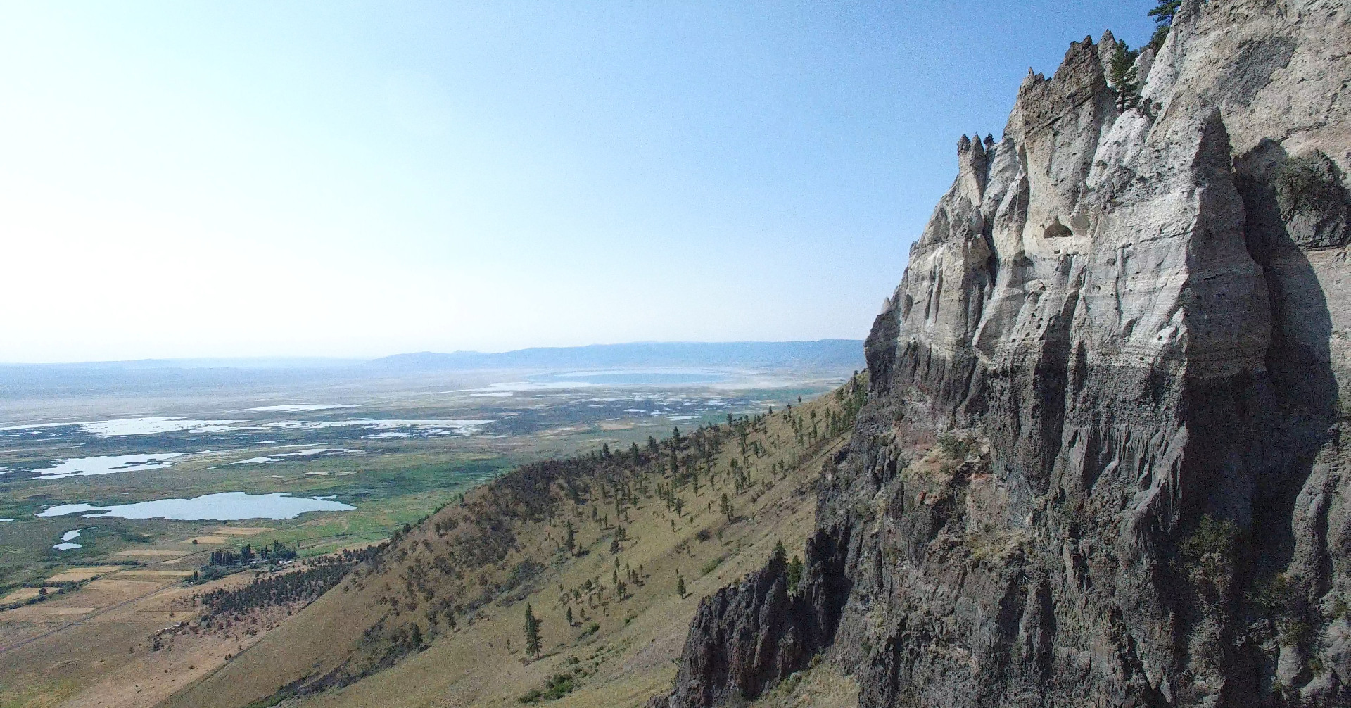
Have Fun and Be Safe It is your responsibility to know where you are and that you are on a route that is legal for your vehicle. If you wish to explore in the National Forest you will also need the Motor Vehicle Use Maps for the forest you wish to visit. Central Oregon SxS Club Maps are produced to provide you with legal routes to enjoy with your Off Highway Vehicle (OHV). This includes all Classes of OHV, Class I (ATV), Class II (Jeep, truck, etc.), Class III Motorcycle) and Class IV (SxS). Routes shown as Blue are Easy to Moderate. The majority of these roads are not maintained and may be impassable due to water runoff, slides, down trees, administrative closures, etc. Some roads may have become impassable since the publishing of these maps. You ride at your own risk. This product is produced from information prepared by Central Oregon SxS or from other suppliers. Central Oregon SxS can’t assure the reliability or suitability of this information for a particular purpose. The Data and product accuracy may vary due to compilation from various sources, including modeling and interpretation, and may not meet National Map Accuracy Standards. This information may be updated, corrected, or otherwise modified without notification. For questions regarding road use in the National Forest please refer to the Forest Motor Vehicle Use Map (MVUM). An MVUM is a legal enforceable document that identifies the roads, trails, and areas where motor vehicles use is allowed in the Forest Service administrative unit or ranger district. MVUMs are reissued each year. It is the responsibility of the motor vehicle user to acquire the current MVUM. The MVUMs display National Forest System (NFS), routes (roads and trails), designated as open to motorized travel. The MVUMs also display allowed uses by motor vehicle class (ex. highway-legal vehicles, vehicles 50 inches in width or less, motor cycles and open to all vehicles; seasonal allowances, off travel distance allowances, and provides information on other travel rules and regulations. Visitors should not rely on any other maps for making decisions about motorized travel. A current printed copy of the Forest MVUM is available FREE from local Forest Service offices, and the current downloadable copy is available FREE from the Travel Management & Off-Highway Vehicle (OHV) Program site Please contact the local land manager, Forest Service, BLM or State Forests for more information about motor vehicle use on the lands they manage. If you are on a forest road and you come to come to a closed gate that is not locked and does not display a NO TRESPASSING or PRIVATE PROPERTY sign you can pass through but please close the gate behind you. Be Safe.
Agree and continue to the Avenza App Map Store

Or scan the QR code below with your Avenza App
(By scanning you agree to the disclaimer)
Locations
The Lodge at Summer Lake
Summer Lake's local restaurant.
Summer Lake Store
The one and only store/gas station in Summer Lake
Pioneer Saloon and Restaurant
Best place to eat or get a drink in Paisley
Silver Lake Mercantile and Motel
Good place to go if you need something the Summer Lake store doesn't have.
Cowboy Dinner Tree
The nationwide famous cowboy restaurant, all you can eat.
Oregon Department of Fish & Wildlife
Up-to-date news and information regarding fish and local wildlife in the area
Central Oregon SxS
Your Source for Central Oregon SxS Adventure Maps
Central Oregon SxS Where To Ride Map Bundle
7 map collection. From Ana Reservoir RV Park to Paisley, Cowboy Dinner Tree, Fremont National Forest and the Eastern Oregon Desert.
Central Oregon SxS Where to Ride website
Download detailed Central Oregon SxS Where to Ride maps showing SxS routes to some historic
Central Oregon places. Start your adventure in: Bend, Lapine, Sisters, Crescent, Silver
Lake, Paisley, Ana Reservoir RV Park.
Central Oregon Off Highway Vehicle Information
Weekly newsletter. Has all of the Fremont-Winema Forest Service Motor Vehicle Use Maps